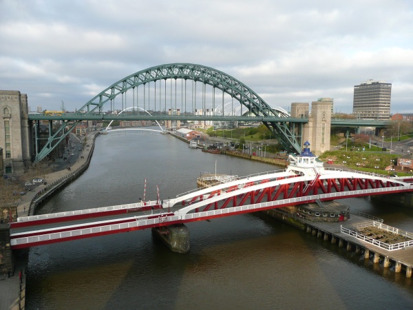
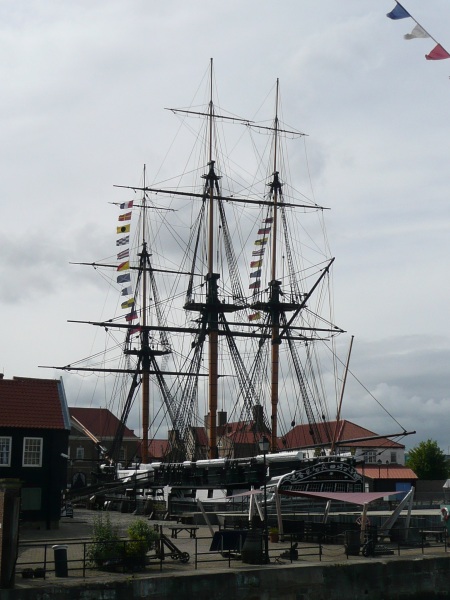
Photographs of North East England

Click on an image to see the full picture

Bridges over the Tyne, Newcastle Hartlepool Harbour

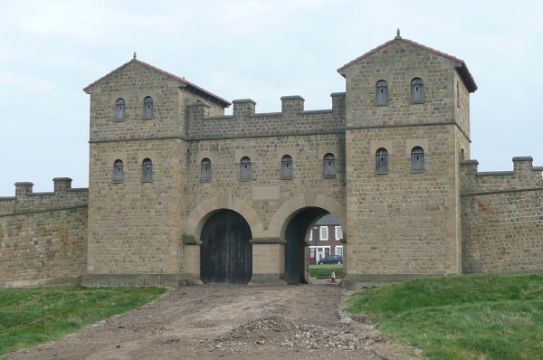
North-East England is one of the nine official regions of England and comprises the combined area of Northumberland, County Durham, Tyne and Wear and Tees Valley. The historic name for North-East England is Northumbria. In Anglo-Saxon times it covered the area from the river Humber in the south to the river Forth in the north. It shrank to the current size when the Earldom of Northumbria was eventually recognised as part of England by the Anglo-Scottish Treaty of York in 1237. It now stretches from the River Tees in the south to the River Tweed in the north.
It is the home of one of the most important Roman monuments in Great Britain, Hadrian's Wall. This wall also continues into Cumbria to the west, but the most significant stone battlements of the wall are in North East England, since the availability of stone was much greater.
This area also contains a large number of castles built to protect the residents from the fighting between the English and Scots which continued from Roman times to the 17th century.

Hexham Abbey Lindisfarne Castle
Arbeia Roman Fort

Arbeia
Beamish Museum
Durham
Hadrians Wall
Hexham
Lindisfarne
Newcastle
North East Castles
Tynemouth
England
Home